
Walk a Riverhead Street Record
Begin with the exact house number and street, not a name alone. The first goal is to identify the parcel, called the DSBL in Suffolk County. Check that parcel against the Town tax search or GIS, then use the County Clerk search to locate the recorded instrument. A deed identifies parties to a transaction. It does not, by itself, establish who is currently at the address. After those property records agree, use voter-facing information only for its stated election purpose and historic directories only as period evidence.
- Enter the address in the Town tax search or locate it in the Town GIS. Copy the property location and tax-map identifier exactly.
- Check the parcel geometry and relevant layers, then retain the complete district, section, block, and lot rather than a shortened version.
- Use the County Clerk Tax Map ID search to find the current recorded reference and note the parties, dates, legal description, and prior reference.
- For a voter’s own registration or polling question, use the official voter service. Do not turn a voter lookup into a general contact list.
- For an earlier household or business clue, keep the street intersection, spelling, and year from the historical directory alongside the modern parcel record.
That Riverhead street directory sequence separates a mapped property from a recorded owner, and a recorded owner from a possible current occupant. It also gives a clean path when a Riverhead street changes names, numbers, or postal labels.
Search Riverhead Street Tax Records
The Riverhead tax portal offers three separate routes: Bill #, Tax Map #, and Property Address. Select one route rather than treating the page as an owner-name search. For a property address, the Town instructs searchers to enter the street name without a Street, Road, or Lane suffix. That small formatting step often matters when an address does not return a match.
| Town tax field | How Riverhead uses it |
|---|---|
| Bill # | Use the bill-number route when that number is already known. |
| Tax Map # | Enter section-block-lot format with hyphens and no spaces, such as 99.-9-99.9. |
| Property Address | Use the street-name search and omit the suffix named in the Town instructions. |
| Select Collection | Choose a prior collection year where the portal makes one available. |
Online tax information begins in December 2017 and continues through the current collection year. Earlier final rolls are available through the Town assessment archive. The portal describes its information as a public courtesy service, not a certified record, and collection data can update during the cycle. Treat a roll as a tax-year snapshot, then verify title through the Clerk.
Compare Riverhead Street GIS Layers
The Town GIS and maps page leads to the public mapping tools. Its ArcGIS application is described as a place to work with parcel, zoning, and infrastructure layers. The Town also identifies a road-ownership map, which can help distinguish the agency responsible for a roadway. A visual layer is useful spatial evidence, not a recorded legal description and not a substitute for a deed.
The Riverhead GIS landing page is the source for this public-map view.
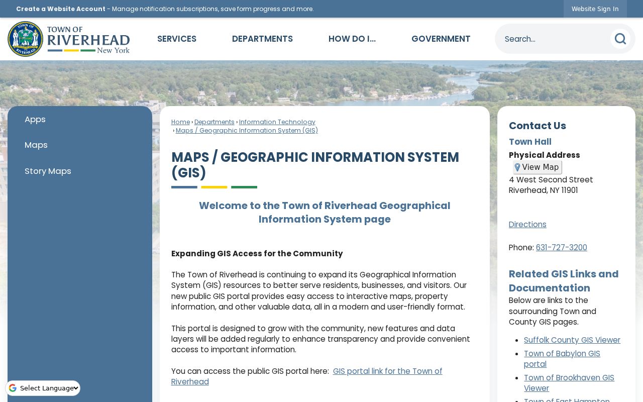
Use the map to compare the address, parcel outline, and context, then carry the parcel identifier into the tax-map and deed searches. Current layer names and popup fields can change as the Town expands the portal.
Riverhead’s planning areas and mailing labels do not necessarily match a municipal boundary. A Riverhead street directory result should therefore be anchored to a parcel and custodian, especially around hamlets that cross into neighboring towns.
Use Riverhead Street Tax Map Results
The Suffolk County Clerk kiosk has a Tax Map ID finder that asks for House Number, Street Name, and ZIP Code. Its property results can display address lines, names, city, state, ZIP, group values, and the district, section, block, and lot. The screen says that it displays the first 2,000 results, so a broad result set needs a narrower address rather than a quick conclusion about a whole street.
| County Clerk route | Fields to enter | Result use |
|---|---|---|
| Tax Map ID finder | House Number, Street Name, ZIP Code | Find candidates and DSBL data tied to a location. |
| Property Tax Map ID | Tax map identifier | Search recorded deeds, mortgages, liens, notices of pendency, and judgments. |
| Name Records Search | Last or corporation name, optional first name, suffix, date range | Search recorded instruments using Starts With, Contains, or Exact. |
| Liber Page | Deed or mortgage liber plus page | Return to a known recorded volume and page. |
Suffolk County’s Tax Map Division explains that DSBL is the parcel identifier used across its mapping work. A mapping change, assembly, or retired number is not automatically an ownership change, which is why the recorded instrument must remain part of the Riverhead street search.
The Tax Map Division information documents the DSBL context used in this lookup.
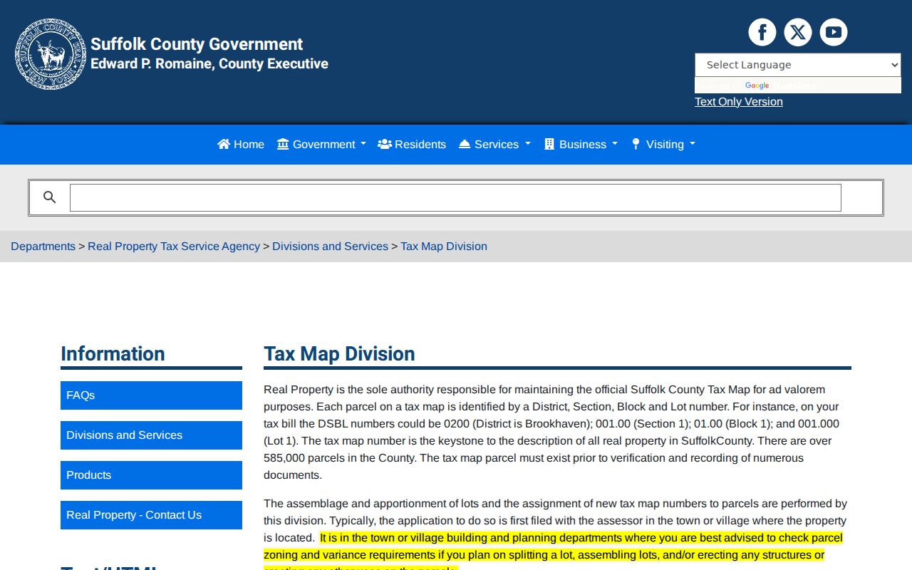
The DSBL is the stable bridge between a street label and parcel records, even when a map or postal description changes.
Riverhead Street Directory Record Layers
Address-keyed records answer different questions. The Town Assessor handles valuation and assessment work, the County RPTSA maintains the mapping and verification functions, and the County Clerk holds recorded land instruments. A final assessment roll can show location, class, assessed value, exemptions, and county, Town, and school columns for a particular year. Those fields do not convert a tax record into a title record or establish present occupancy.
| Address record | Riverhead custodian | Useful street evidence | Access route |
|---|---|---|---|
| Tax search and final roll | Town Assessor / tax office | Property location, account context, class, assessments, and exemptions by year | Town portal and archive |
| Parcel and zoning layers | Town GIS | Parcel geometry, zoning, infrastructure, and road context | Public GIS |
| DSBL and verification | Suffolk RPTSA | Tax-map identity, mapping context, parcel/aerial print route | Counter and tax-map resources |
| Recorded instruments | Suffolk County Clerk | Parties, dates, legal descriptions, prior references, and document type | Kiosk and Historic Documents Library |
| Permits and certificates | Town Building Department | Address or parcel-specific building workflow | Department or Town Clerk FOIL route |
The Suffolk County RPTSA is the source for the County property-service context.
Use this County layer to verify parcel language and access options before interpreting a name in an index as a current owner or resident.
Follow a Riverhead Street Deed Chain
Once the address produces a parcel or Tax Map ID, retrieve the latest deed reference. Record the instrument date, recording date, grantor, grantee, liber and page or document number, legal description, map reference, and any prior-deed citation. Then repeat with the earlier instrument. A grantee is the party receiving an interest and a grantor is the party transferring one. Those roles describe the document, not a present living arrangement.
For older work, the County Clerk Historic Documents Library is the paper fallback. The County says land records reach to the mid-1600s. Use terminals for 1969 forward; before 1969, work the large grantor and grantee books. The books are one countywide alphabetical set from 1660 through 1950, then divided by town from 1951 through 1969. Ask staff for help with the oldest grantee material instead of guessing which volume controls.
RPTSA Verification describes its document-verification and legal-description work.
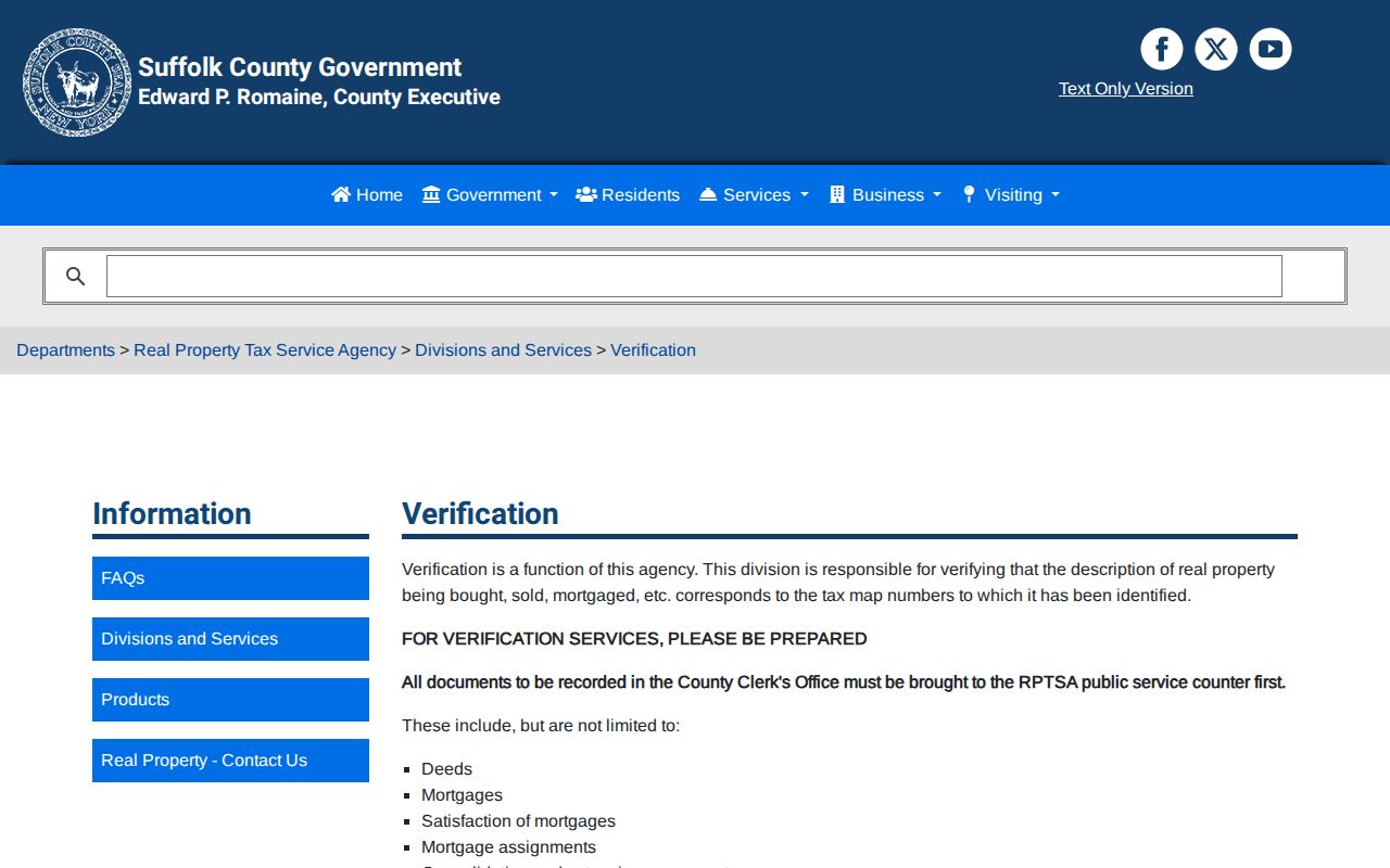
When the map, written legal description, and street label seem inconsistent, request clarification from RPTSA or the County Clerk rather than relying on a map overlay.
Keep Riverhead Street Names in Their Era
Old Riverhead addresses often require more than a modern number. Curtin’s 1868/69 directory uses names, occupations, and intersections, with abbreviations such as “h.” or “r.” and descriptions such as corner or near. Preserve those words as printed. They are historical location clues, not coordinates that can be silently converted to a current address.
The Town’s Polish Town history provides a practical bridge: Cemetery Street was renamed Pulaski Street by a Town Board resolution on October 9, 1929. Search both names when the period crosses that change, then use a deed, atlas, resolution, or other independent evidence before matching an old reference to a current parcel. The Town Historian also connects historic Bridge Street to today’s Peconic Avenue context, but a specific lot conversion still needs documentary support.
- Parcel
- A mapped unit of land used in assessment and tax-map systems. It is identified in Suffolk County by a DSBL.
- Situs address
- The physical property location used to identify land. It differs from a mailing address used for tax correspondence.
- Plat
- A filed map that lays out lots or other mapped land divisions. It is a record reference, not a substitute for the full deed.
- Criss-cross directory
- An address-to-name and name-to-address research method. Riverhead has no confirmed public reverse-directory title, so ask local-history staff about holdings.
Read Riverhead Street Maps With Records
County bound atlases begin around 1873 and can show an owner name, building, and story count where the sheet includes them. The Library of Congress identifies a Riverhead Sanborn item dated March 1897 and described as six sheets. Sanborn maps use outlines, colors, symbols, stories, construction material, and use to describe the built environment. They can place a building in time, but they do not name every person connected with it.
Pair each map date with the matching deed, roll, directory, newspaper, or permit date. The County Clerk’s historical guide notes that early permits generally do not begin before the early 1920s and may contain an applicant-supplied approximate date of origin. That is a lead, not a surveyed construction date. The 1909 kerosene accident noted by the Town Historian also helps explain why older local records can have unusual preservation gaps.
Riverhead Building Department forms show the Town’s current permit categories.
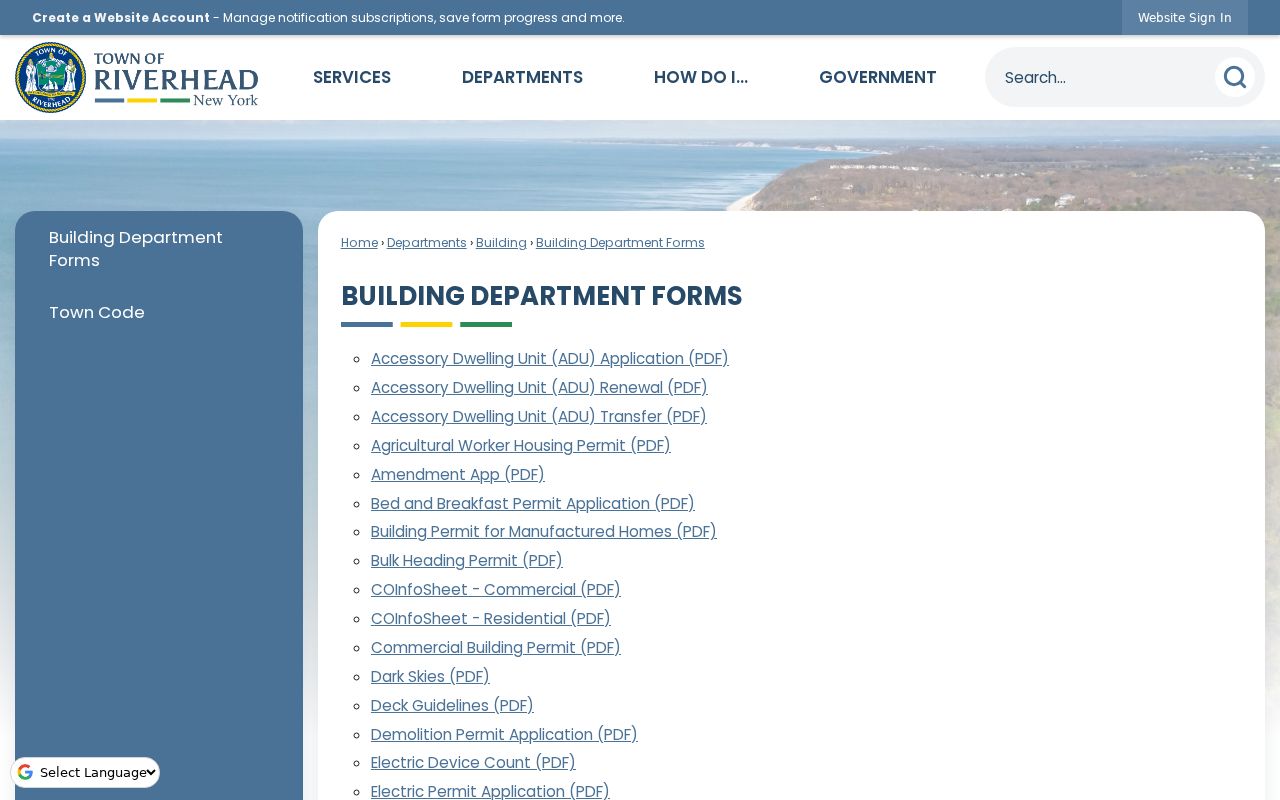
For copies of permits, certificates of occupancy, or surveys, the research record directs requests through the Town Clerk’s FOIL route rather than promising a downloadable address file.
Match Riverhead Street Boundaries
Riverhead is a Town of Suffolk County, and a mailing label can describe a postal city, a hamlet, a school or fire district, or a planning area. The Town’s comprehensive-plan materials say those boundaries do not always coincide and that its hamlet areas lack legally defined boundaries. Laurel crosses Riverhead and Southold, Manorville crosses Riverhead and Brookhaven, and Wading River also crosses the Riverhead/Brookhaven context.
A ZIP helps route mail. It does not decide civil jurisdiction. Use the physical address and DSBL with the Town GIS, RPTSA, or County Clerk record when a Riverhead street falls near a boundary. Road ownership is a separate map question as well. The Town road-ownership map can identify the maintaining agency, but a street address alone cannot establish it.
Note: Retain the source date, map version, and record custodian whenever two public descriptions of a Riverhead address do not agree.
Riverhead Street Directory Limits
A Riverhead street directory search can connect a property location to a parcel, an assessment year, or parties named on a recorded instrument. It cannot establish every person at an address, reconstruct protected information, or turn a historical entry into a current fact. Town tax data may lag a recorded transfer, a deed image may be unavailable online, and a directory entry may use an intersection that no longer has the same name.
Use the New York voter lookup narrowly for its voter-facing function. A lookup failure can reflect a mismatch or a lawful confidentiality protection. New York’s Address Confidentiality Program and confidential voter registration protect eligible safety-risk participants. Keep the minimum information needed for a legitimate personal, genealogy, estate, or property-curiosity question.