
Riverhead Block Records at Parcel Scale
Public sources describe a Riverhead block in layers. The Riverhead GIS view gives parcel geometry and planning layers. The Riverhead assessment roll gives a dated property record. Riverhead DSBL information keeps each parcel distinct, and recorded Riverhead instruments can explain a transfer. Riverhead historical atlases, Sanborn sheets, and the 1868/69 directory add past context. None is a roster of current households. A recorded party may not be the person at the location, and a map or roll does not prove a household connection.
| Riverhead source | What it shows about a block | Access |
|---|---|---|
| Riverhead Town GIS and ArcGIS layers | Riverhead parcel geometry, zoning, infrastructure, and road-ownership context | Public Riverhead maps and apps; current field list requires live verification |
| Riverhead Town assessment rolls and tax search | Riverhead property location, class, assessment, exemptions, and tax-year columns | Riverhead roll archive from 2010–11; tax portal from December 2017 |
| County DSBL and Riverhead tax-map resources | Riverhead district, section, block, lot, map changes, and parcel identity | RPTSA records, counter, and Riverhead County Clerk finder |
| Riverhead deeds, atlases, and Sanborn material | Recorded parties, legal descriptions, former Riverhead lot context, building evidence | Kiosk, Riverhead Historic Documents Library, and map collections |
| Riverhead community and local-history sources | Riverhead place history, civic context, and referrals rather than member lists | Organization pages and Riverhead in-person collections |
Riverhead parcel research is strongest when all records are compared by their source date. The Riverhead tax portal is courtesy data, Riverhead GIS is mapped administrative context, and the Riverhead County Clerk holds the recorded land instruments.
Riverhead Block Research Starts With Geometry
The Town of Riverhead GIS page links public map tools, and the Town Apps page identifies an ArcGIS Experience with parcel, zoning, and infrastructure layers. Use the map to locate the address and visually identify abutting parcels. Road ownership is a separate layer and should not be read as parcel ownership. The research did not capture a stable complete field list, popup schema, or export controls for the live application, so treat the map’s current display as something to inspect at the time of use.
The Town Assessor explains assessment, exemption, ownership-transfer, parcel-split, and map-related functions. It does not publish a direct owner-name search on its public page. That distinction matters for Riverhead: an address or tax-map search is a parcel route, not a promise that the result identifies a current resident.
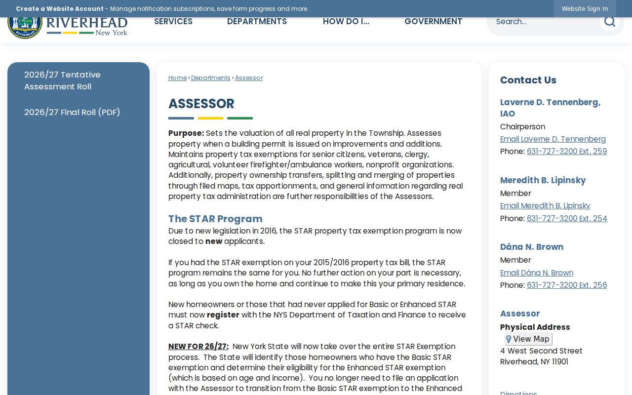
Riverhead assessment information gives a dated property snapshot, which should remain separate from a conclusion about who currently occupies any parcel.
Mapping Riverhead Surrounding Parcels
A small Riverhead block can be documented with a source trail instead of a people list. Begin with a supplied address, preserve it exactly as printed, and compare each surrounding parcel on the same map and roll year. The method below keeps the physical block, the County identifier, and any recorded document in the proper order.
- Enter the Riverhead address in the Town GIS or County Clerk tax-map finder and record the selected parcel.
- Move from the map location to its DSBL, then note the adjacent parcels by their own DSBLs rather than their apparent spacing on screen.
- Compare the Riverhead assessment-roll property location, class, assessed value, exemptions, and taxing columns for the same roll year.
- Use the County Clerk tax-map or name search only when a recorded deed or legal description is needed to explain a particular parcel.
In short form, the Riverhead path is address → GIS parcel → DSBL → assessment record → deed. For a full named-street record chain, use the Riverhead Street Directory rather than extending an immediate-block review beyond its evidence.
Riverhead Blocks Kept Straight by DSBL
DSBL means district, section, block, and lot. RPTSA uses it to identify tax-map parcels, while the County Clerk tax-map finder can return district, section, block, and lot alongside address and name fields. A DSBL is more durable than a loose street description when Riverhead has similar names, new map numbers, retired map numbers, or a postal description that crosses a boundary. It is also the best way to distinguish nearby parcels that look alike on a map.
| Riverhead assessment roll | Property location, classification, assessed valuation, exemptions, and separate county, Town, and school columns. |
|---|---|
| County tax map | Parcel identity, DSBL structure, map changes, and a route to a print or aerial with parcel lines. |
| Recorded deed | Recorded parties, instrument and recording dates, legal description, prior reference, and any filed-map connection. |
| GIS layer | Current spatial and planning context, not a certified title or occupant record. |
The RPTSA verification page describes legal-description types and a counter-first process for several document questions. Listed verification fees are date-sensitive and should be confirmed directly before making a request.
Note: Mapping changes, parcel combinations, and new tax-map numbers are not the same as a recorded transfer or a change in who lives nearby.
Riverhead Blocks at Boundary Edges
Riverhead neighborhood context has a special boundary caveat. The Town comprehensive plan names nine hamlet areas, but says those areas do not have legally defined boundaries and do not always match postal, school, fire-district, or Census lines. Laurel, Manorville, and Wading River each cross a broader municipal context. A Riverhead mailing address or ZIP therefore does not prove that a parcel belongs to the Town or that two nearby properties share the same jurisdiction.
Use the parcel DSBL, exact address, and current custodian to make the jurisdiction call. Use a hamlet or postal name only as context. The Town comprehensive-plan materials are useful for Riverhead geography, but they do not replace a county tax map or recorded legal description.
Riverhead Civic Context for a Block
Local organizations can explain Riverhead place history, but their pages are not public membership directories. The Polish Town Civic Association says it was established in 1975 and organizes festivals, cultural and educational programs, and community service. Its public material does not supply a member list. The Town Historian, library, and historical society can help a reader move from a street or landmark to sources that document the neighborhood over time.
Riverhead Town Historian
Early Town documents, road and civic history, and local context for Riverhead research.
Polish Town Civic Association
Community events and Polish Town context. No public membership directory was located.
Riverhead Free Library
Perkins Local History Collection
330 Court Street, 631-727-3228. Free genealogy appointments are offered by appointment.
Suffolk County Historical Society
300 West Main Street, 631-727-2881. Wednesday–Friday afternoons and Saturday by appointment.
The Town Historian records Riverhead history reaching back to early settlement and can point a block search toward the right historical context.
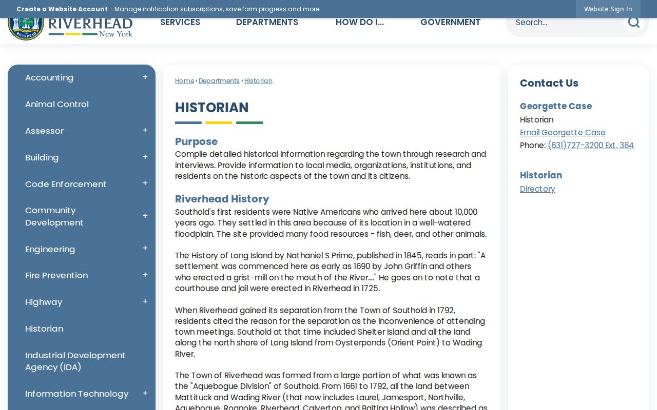
Riverhead historical sources can explain a former road, landmark, or civic district without asserting a present household connection.
Riverhead Block Records Compared
Official Riverhead and Suffolk records are created for defined public functions. Commercial location-search services combine data from varying sources and may be incomplete, stale, or unclear about the date and custodian. Neither category establishes a current resident from a parcel alone. When accuracy matters, return to the official map, dated roll, recorded instrument, or historical institution that supplies the underlying evidence.
| Record path | Useful for | Key limit |
|---|---|---|
| Official GIS, assessment, DSBL, and deed sources | Parcel identity, dated property facts, and recorded land documents | Separate custodians and dates; a named party is not proof of occupancy |
| Commercial location-search category | A starting lead that still needs independent verification | Unknown freshness, varying source quality, and no authority to override official records |
| Library and historical collections | Past streets, intersections, maps, newspapers, and local context | Uneven years, appointments, finding aids, or in-person access can apply |
A Riverhead result should retain the source URL or office, date checked, parcel reference, and precise limit. That is more useful than combining unmatched records into a claim about the people around an address.
Riverhead Blocks in Historical Context
A downtown Riverhead block can be read across several time layers. Curtin’s 1868/69 directory uses intersections such as Main near Bridge, Abner, Griffing, Court House, and Long Island House. County atlases can add owner and building clues from about 1873. The Riverhead 1897 Sanborn target adds footprints, stories, construction symbols, and use. A current GIS parcel is a different layer again. Preserve every date rather than translating the whole sequence into one modern address.
The Polish Town page adds a useful Riverhead records bridge: Cemetery Street was renamed Pulaski Street by a Town Board resolution on October 9, 1929. Search both names when the historical source calls for it. The Polish Town Civic Association supplies contemporary community context, not a record of individual people.

Riverhead streets and landmarks are best reconciled with maps and records, not by assuming that an old intersection has a direct modern number.
Riverhead Privacy Boundaries for Blocks
Public parcel and land records have limits. They do not create a current household directory, and they should not be used to infer a person’s identity, routine, contact details, or protected location. New York’s Address Confidentiality Program supplies a substitute address for eligible participants, and confidential voter registration can withhold certain voter information. A missing result may reflect a protection, a gap, or a mismatch, not a conclusion about a person.
For a Riverhead municipal record that is not available through the ordinary portal, a narrow written request can be directed through the Town’s records-access process. New York FOIL concerns existing reasonably described records. It does not require an agency to create an address list or answer a broad question about people on a block.
Lawful use. Riverhead block research is appropriate for civic context, family history, and understanding an address. Do not use records to monitor, harass, intimidate, repeatedly contact, or expose any person.