
Riverhead ZIP Code Coverage by Postal Place
Riverhead has a historical six-post-office catalog and a broader nine-code secondary boundary aid. They should not be treated as one identical list. The County’s 1964 and 1975 catalogs supply six historical post-office associations. A secondary aid adds three Riverhead-associated postal contexts, but each needs a current USPS and parcel check. The Town comprehensive plan is clear that postal, hamlet, school, fire, Census, and municipal boundaries can differ.
| ZIP Code | Area or postal place in sources | Post-office association | Riverhead caveat |
|---|---|---|---|
| 11792 | Wading River | North Country Road in 1964/1975 catalogs | Wading River crosses the Riverhead/Brookhaven context. |
| 11901 | Riverhead | Second Street in 1964/1975 catalogs | A Riverhead postal city still needs a parcel check. |
| 11931 | Aquebogue | Main Road in 1964/1975 catalogs | Postal association is not a legal hamlet boundary. |
| 11933 | Calverton | Middle Country Road in 1964/1975 catalogs | Verify the exact parcel in the Calverton planning context. |
| 11947 | Jamesport | South Country Road in 1964/1975 catalogs | Do not merge Jamesport with South Jamesport automatically. |
| 11948 | Laurel | Secondary boundary aid | Laurel is divided between Riverhead and Southold. |
| 11949 | Manorville | Secondary boundary aid | Manorville is divided between Riverhead and Brookhaven. |
| 11961 | Ridge | Secondary boundary aid | Exact parcel controls any claimed Town connection. |
| 11970 | South Jamesport | Second and Willow in 1964/1975 catalogs | Historical post-office association; confirm current delivery data. |
The six catalog rows preserve historical postal administration. The wider nine-code list adds useful geographic leads, not current delivery guarantees. Keep ZIP, postal city, hamlet, and civil jurisdiction as separate fields when comparing records.
Riverhead ZIP Areas, Not Town Lines
The Town of Riverhead has nine named hamlet areas in its planning material, and those areas do not have legally defined boundaries. A postal place can overlap a neighboring municipality, as the Laurel, Manorville, and Wading River examples show. A Riverhead mailing address can therefore be a good starting point while still being insufficient for a Town-record request.
Use the actual street address and parcel identifier to identify the applicable custodian. The Town GIS and Suffolk County tax-map record answer the jurisdiction question more directly than a ZIP boundary. That distinction matters when a local record is held by the Town of Riverhead, Suffolk County, Southold, or Brookhaven.
Resolve a Riverhead ZIP Code With USPS
USPS PostalPro ZIP Code Lookup offers an address mode with street address, city, and state, plus a city/state mode that returns ZIP codes associated with a place. Use the address mode when the street is known. Use the city/state mode only to identify possible delivery codes before checking the exact address. The consumer USPS screen was not captured in the research session because it returned an access challenge, so the PostalPro route is the documented current source.
The USPS PostalPro lookup is the source for the ZIP search interface shown here. Enter the full street number, street name, city, and state as supplied by the mailing record, then retain the returned delivery ZIP with the search date.
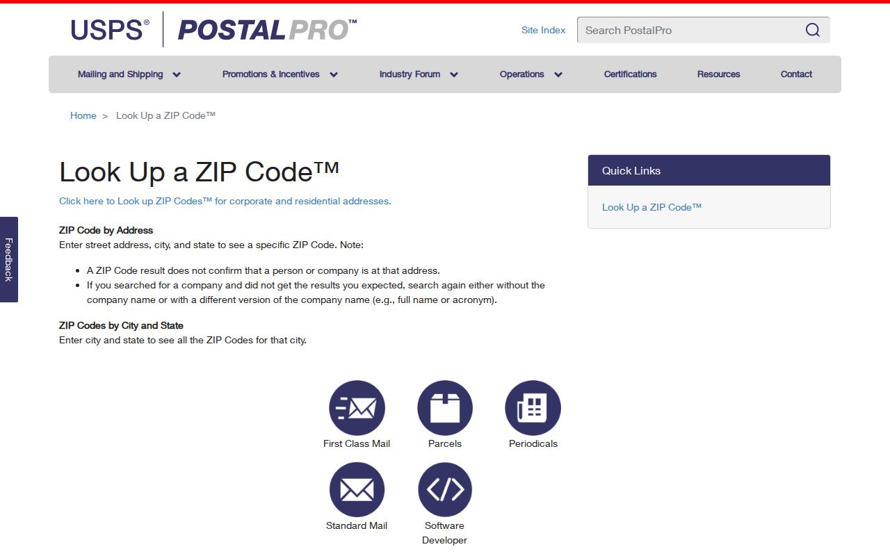
USPS expressly warns that a ZIP result does not confirm that a person or company is at an address. It resolves delivery geography, not identity, occupancy, legal jurisdiction, or title.
Read Riverhead ZIP History by Date
The County’s 1964 and 1975 catalogs identify Aquebogue, Calverton, Jamesport, Riverhead, South Jamesport, and Wading River post offices with their associated ZIPs and street or route descriptions. Those entries are valuable for placing a period document. They do not establish that every later address, post-office name, or boundary uses the same postal pattern.
ZIP codes also postdate the 1868/69 Riverhead directory. For an older address, begin with the historic street or intersection, county, and available parcel evidence. Then use the postal record only when it belongs to the era being studied. This keeps a modern delivery designation from being projected backward onto an early directory entry.
Note: Mark the catalog year beside any historical postal reference so a reader can tell it from a current USPS result.
Search Riverhead ZIP Portal Fields
ZIP is a filter in some official systems, not all of them. The County Clerk Tax Map ID finder combines House Number, Street Name, and ZIP Code to return property candidates. The Town tax search has no separately labeled ZIP field: it begins with Bill #, Tax Map #, or Property Address and instructs address searchers to omit a suffix. The differing forms are a useful reminder to choose the key that the custodian actually accepts.
| Official service | ZIP-related fields | How to use the result |
|---|---|---|
| USPS PostalPro | Address, city, state; or city/state | Resolve a delivery ZIP, then retain the entered address. |
| County Clerk Tax Map finder | House Number, Street Name, ZIP Code | Find a tax-map candidate with address, names, and DSBL fields. |
| Town tax search | No dedicated ZIP field | Use Bill #, Tax Map #, or Property Address; omit the suffix in an address search. |
| NYS DOS Licensee Search | Optional County, City, ZIP Code with name and type | Find an administrative license record, not a resident record. |
The NYS Department of State Licensee Search also has Last Name, First Name, License Type, County, City, and ZIP Code fields. Results can report license information and a practice location. That kind of address is not evidence of an individual’s residence.
Use Riverhead ZIP Directory
A ZIP-led search should narrow geography before it interprets a name. Start with USPS, move to the parcel identifier, and then select the records office. If a full street-level trail is needed after the parcel is confirmed, the Riverhead street directory has the address-to-deed sequence.
- Use USPS address lookup to verify the delivery ZIP supplied for the exact street address.
- Enter house number, street name, and ZIP in the County Clerk Tax Map finder, then copy the district, section, block, and lot from the candidate that matches the address.
- Compare the DSBL and address in the Town GIS or RPTSA material to confirm which municipal context applies.
- Search the Town tax portal by property address or tax map number for its collection and roll context. Do not expect a separate ZIP search there.
- Use the County Clerk deed search or Historic Documents Library only when the question concerns a recorded instrument or an earlier property trail.
The official voter lookup uses a name, date of birth, county, and address information, not a separate ZIP field on the visible match screen. State voter-data requests also have election-purpose rules, so a ZIP alone is not an all-purpose people-search key.
Use Riverhead ZIP Code Maps as Aids
The Suffolk County ZIP-code map is a useful orientation tool, but it is not a parcel-level legal map. Pair it with Town GIS, RPTSA, and the County Clerk tax-map search. The Town’s comprehensive-plan page provides the local geography warning that makes that comparison necessary: community, post-office, school, fire, Census, and Town boundaries may differ.
The Town comprehensive-plan materials are the source for this Riverhead geography context.
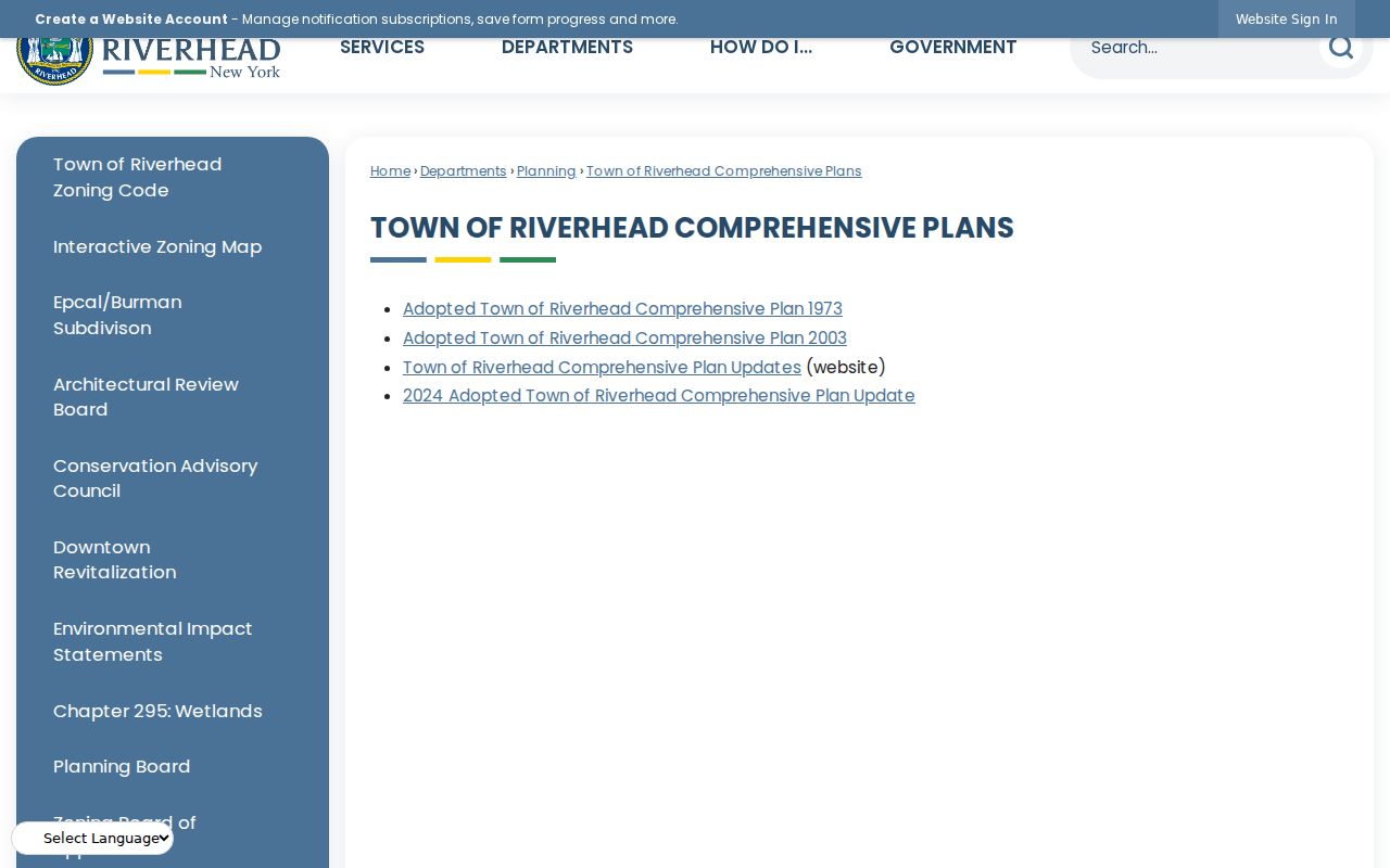
The plan is helpful for hamlet names and context. It does not replace the DSBL or a recorded legal description when identifying a specific property.
Define Riverhead ZIP Code Terms
Postal terms are easy to overread. They describe how mail is sorted and delivered, while parcel and recorded-property terms identify land. Keep both kinds of information in the source trail, but do not let the postal term settle an ownership or jurisdiction question.
- ZIP code
- A Postal Service delivery-area code. It can serve more than one community context and is not a municipal boundary.
- ZIP+4
- An added four digits that refine delivery sorting within a ZIP code. It does not identify a parcel owner or a government jurisdiction.
- PO-box ZIP
- A code associated with post-office box mail. It should not be treated as the physical location of a person or property.
- Unique ZIP
- A delivery code assigned to a single large organization or address pattern when USPS uses one. No such Riverhead assignment was established in this source set.
- Carrier route
- A mail-delivery grouping within postal operations. It is not a neighborhood boundary or an official resident roll.
Riverhead ZIP Code Directory Limits
The Riverhead ZIP code directory can organize postal clues and show which official form accepts a ZIP filter. It cannot confirm a person at an address, prove that a parcel lies within the Town, or establish a current property owner. A County Clerk result is an index path that still needs the correct parcel and recorded instrument. An assessment record has its own tax-year timing.
When records conflict, preserve the exact entered address, the ZIP returned by USPS, the DSBL, the source date, and the custodian. Save the USPS result date as well. Start again with the parcel if the postal place and Town context disagree. This is particularly important around Laurel, Manorville, Wading River, and other places that cross the local boundary frame.